LINK Urban Digital Twinning (LINK UDT)
Duration

Extreme heat, heavy rainfall and dry spells are increasing pressure on local authorities to respond swiftly to climate change impacts and coordinate their efforts. At the same time, there is growing demand for digital planning solutions that are reliable, interoperable, and secure – especially for integrating data from multiple sources. Against this backdrop, the Federal Ministry of Research, Technology and Space (BMFTR) is funding the flagship programme "Accelerating planning for climate adaptation with urban digital twins”, with the aim of improving the integration of climate adaptation into regional and municipal land-use and landscape planning – without slowing planning processes.
The accompanying research and coordination project – LINK URBAN DIGITAL TWINNING: Coordination and Collaboration Platforms for the Synergistic Conception, Development, Interoperability, and Digital Sovereignty of Urban Digital Twins (LINK UDT) – is a vital component of this programme. LINK UDT connects the programme’s living laboratories, consolidates research findings, and supports collaborative approaches for data, tools, and knowledge transfer.
*** The living laboratories: Seven metropolitan regions in Germany ***
LINK UDT accompanies seven urban living labs in the programme:
- EKLIPS3plus1 - Efficient and climate-resilient planning with three urban digital twins in one region (Partners: City of Wuppertal, City of Solingen, City of Remscheid) - Coordination: City of Wuppertal
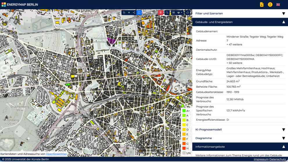
- CO2OL_ISLANDS - Cooling and CO2 Optimisation for Urban Landscapes with Intuitive Software for Local Administrations Integrating Network Design and Subsurface Systems (Partners: District of Berlin Charlottenburg-Wilmersdorf) - Coordination: Berlin University of the Arts, Institute for Architecture and Urban Design
- KIB-UDZ - Development of an AI-enhanced tool for the evaluation of heavy rainfall and heat adaptation measures in Urban Digital Twins (practice partner: City of Speyer) - Coordination: German Weather Service (DWD)
- adapTWIN - Ensuring accelerated planning processes through Digital Twins to incorporate urban climate change adaptation, with a focus on Green and Blue Infrastructure (Partner: City of Essen) - Coordination: City of Essen
- MACSpeeDZ - Planning Acceleration for Climate Adaptation with Urban Digital Twins (Partners: City of Mannheim, City of Aachen) - Coordination: City of Mannheim
- VeloCityAdapt – Adaptive Multimodal Systems to Support Coordination and Decision-making in Inter- and Intra-municipal Climate Change Adaptation (practice partners: City of Bad Berleburg, City of Hagen) - Coordination: FernUniversität in Hagen. The RIFS is involved in research around this living lab.
- CoKlip - , Consortium: City of Leipzig (Digital City Department), UFZ, InfAI e. V., TROPOS – Coordination: City of Leipzig.
The programme’s living laboratories function as "workshops of practice": In seven municipal consortia, climate adaptation is tested not in a laboratory, but in ongoing planning practice to deliver more resilient outcomes faster – from managing heat islands, drought, and heavy rainfall to concrete measures such as greening, de-sealing, and water retention. Urban Digital Twins provide a virtual representation of the city or region, allowing planners to compare “what-if” scenarios. The project’s broader aim is to accelerate and improve the integration of climate adaptation into regional and municipal land-use and landscape planning, without slowing processes, instead making them more robust and faster. To achieve this, user-friendly software solutions will be developed that can be integrated into existing municipal data infrastructures, making climate, environmental, and remote sensing data, as well as climate scenarios, more accessible.
LINK UDT: Networking, knowledge transfer and common foundations
Under the leadership of RIFS, the LINK UDT research consortium is building a shared knowledge base, organising exchange and working formats and supporting the living laboratories in their efforts to ensure that solutions are interoperable and transferable – from data integration to long-term use in local government.
LINK UDT transforms seven individual projects into a collective hub for learning and implementation: The project builds a shared knowledge base, makes results comparable, and helps develop solutions that can also be used in other municipalities. In concrete terms: LINK UDT strengthens collaboration through the development of common technical and organizational guidelines, supports the uptake of reusable software components through shared development spaces (repositories, communities), and creates freely available training materials (Open Educational Resources) so that know-how is not marooned in project folders but reaches administrations. A particular focus is on ensuring that data and applications are compatible (interoperability) and that municipalities remain capable of action and independent in the long term (digital sovereignty, data protection, data portability). To this end, LINK UDT organises forums for knowledge sharing (workshops, conferences etc.), operates dialogue and transfer channels and links outputs to relevant data infrastructures (e.g. GDI-DE, NFDI4Earth).
Our contribution to LINK UDT: Management and monitoring of living laboratories and knowledge transfer
In the LINK UDT accompanying research and coordination project, RIFS leads the consortium and serves as the central interface between the living laboratories, consortium partners and funding agencies. RIFS coordinates and steers the project, organizes working and consortium meetings, and establishes a steering committee for strategic coordination within the programme. Parallel to this, RIFS researchers monitor, analyse, and advise the living laboratories on an ongoing basis. Through dialogues, document analyses, interviews, and participant observation, needs are identified early, obstacles flagged, and opportunities for transfer are systematically developed, ensuring that local solutions are quickly transformed into approaches that can be adapted for other municipalities.