A New “Truth” About the Rainforest: How Bolsonaro’s Supporters Misuse Satellite Data
16.03.2022
Satellite data have played an important role in efforts to monitor the rate of deforestation in the Amazon Basin for decades. But the way these data are used has changed under the government of President Jair Bolsonaro. His supporters are questioning the validity of scientific findings as a means to propagate a worldview that puts profits first.
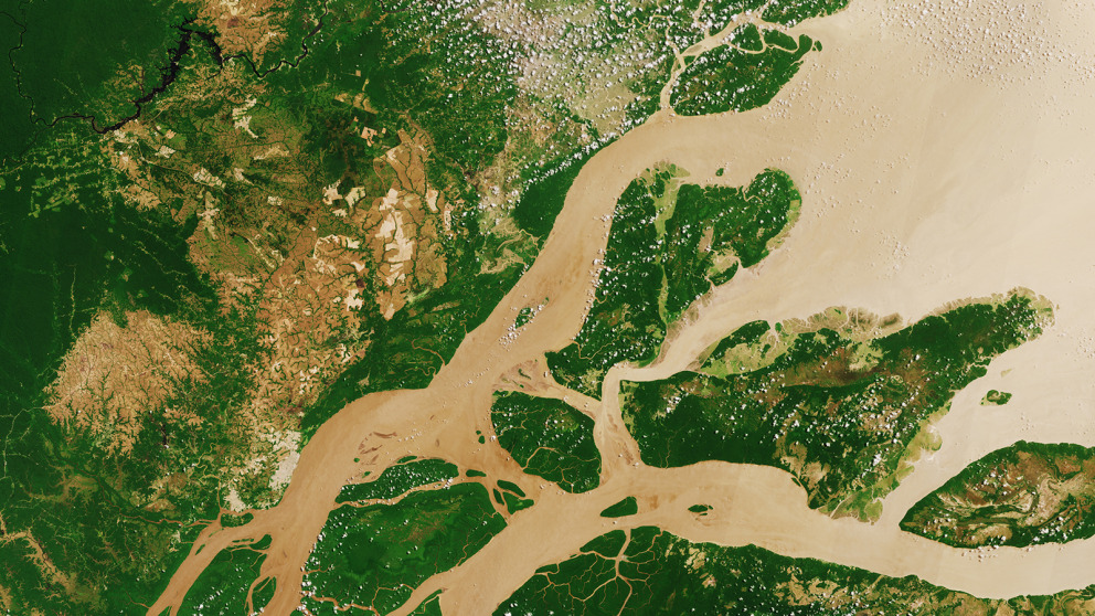
An extensive satellite-based monitoring system has been developed since the 1980s to track the loss of rainforest in the Amazon Basin. In a new study, M. Cecilia Oliveira (IASS) and Leandro Siqueira (Universidade Metropolitana de Santos, São Paulo, Brazil) examine how the use of data generated through this system has changed since Bolsonaro took office in 2019.
“Our study shows that far-right groups are undertaking a broad and sophisticated effort to produce and spread a different ‘truth’ about the Amazon – namely, that deforestation is an acceptable price to pay for economic development. Structures built up over many years to track and control deforestation are increasingly being dismantled,” says Cecilia Oliveira, lead author of the study and research group leader at the IASS.
Bolsonaro’s alternative truth
For many years, successive Brazilian governments shared available satellite data with environmental agencies and civil society organizations. This approach facilitated the participation of diverse groups in the protection and sustainable use of the rainforest. While the analyses of satellite imagery published by the government were relatively simple, they provided environmentalists with the information they needed to pressure agencies to improve protections. Especially under President Lula, who ruled from 2003 to 2011, Brazil succeeded in significantly reducing deforestation in the Amazon.
The situation has deteriorated significantly since Bolsonaro came to power in 2019. “Newly empowered groups such as the military, climate denialists, far-right activists, and the agribusiness and extractive industries have begun to establish an alternative regime aimed at spreading an ‘alternative truth’ about deforestation,” Oliveira explains. The researchers refer to this new approach to the use of data as a “hyper-transparency regime” that competes with the old “transparency regime.”
Sanctuary or strategic extractive resource?
The age of hyper-transparency is characterized by an excess of information. “This counter-activism works to refute the scientific validity of the images and satellite data produced by the National Institute for Space Exploration by questioning their quality, accuracy and veracity and regularly demanding that it be verified through so-called ‘audits.’ In doing so, they suggest that the images are not to be trusted. The goal of this practice appears to be to confuse the public about the extent of deforestation,” says Oliveira. In addition, the government has accused scientists of allying themselves with environmental NGOs to harm Brazil’s economic development.
The prevailing image of the Amazon, the researchers say, has changed fundamentally in the last three years: Whereas it was previously viewed as a protected area within which only limited areas would be sustainably developed, a vision of the Amazon as a strategic resource has become increasingly prevalent.
Oliveira, M.C., Siqueira, L. (2022). Digitalization between environmental activism and counter-activism: The case of satellite data on deforestation in the Brazilian Amazon, Earth System Governance, Volume 12, April 2022, 100135, https://doi.org/10.1016/j.esg.2022.100135
Leia em português:
Uma nova "Verdade" sobre a Amazonia - Como os apoiadores de Bolsonaro usam os dados de satélite
Contact